
Aruvankadu topographic map
Interactive map
Click on the map to display elevation.
About this map
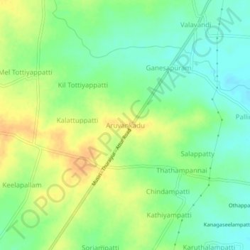
Name: Aruvankadu topographic map, elevation, terrain.
Average elevation: 108 m
Minimum elevation: 93 m
Maximum elevation: 125 m
Other topographic maps
Click on a map to view its topography, its elevation and its terrain.
Vengaimandalam
India > Tamil Nadu > Musiri
Vengaimandalam, Musiri, Tiruchirappalli District, Tamil Nadu, 621006, India
Average elevation: 108 m
Thathampatti
India > Tamil Nadu > Musiri
Thathampatti, Musiri, Tiruchirappalli District, Tamil Nadu, 621211, India
Average elevation: 102 m