
Retruyés topographic map
Interactive map
Click on the map to display elevation.
About this map
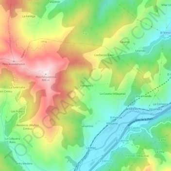
Name: Retruyés topographic map, elevation, terrain.
Location: Retruyés, Pola de Lena, Asturias, 33695, España (43.17248 -5.84303 43.21248 -5.80303)
Average elevation: 511 m
Minimum elevation: 259 m
Maximum elevation: 879 m