
Kampung Kota topographic map
Interactive map
Click on the map to display elevation.
About this map
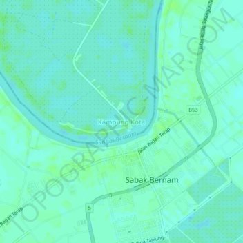
Name: Kampung Kota topographic map, elevation, terrain.
Location: Kampung Kota, Bagan Datuk, Perak, 36400, Malaysia (3.75284 100.95944 3.79284 100.99944)
Average elevation: 4 m
Minimum elevation: 0 m
Maximum elevation: 9 m