
Ambagaon topographic map
Interactive map
Click on the map to display elevation.
About this map
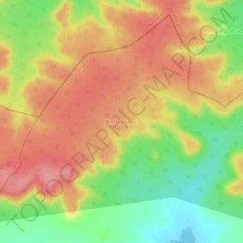
Name: Ambagaon topographic map, elevation, terrain.
Location: Ambagaon, Kuntala mandal, Nirmal, Telangana, India (19.21759 78.05079 19.25759 78.09079)
Average elevation: 434 m
Minimum elevation: 374 m
Maximum elevation: 481 m