
La Sierpe topographic map
Interactive map
Click on the map to display elevation.
About this map
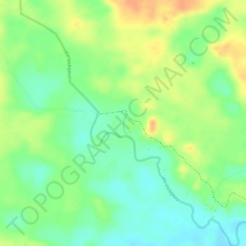
Name: La Sierpe topographic map, elevation, terrain.
Location: La Sierpe, Piamonte, Cauca, Colombia (1.01616 -76.36332 1.01911 -76.36277)
Average elevation: 277 m
Minimum elevation: 257 m
Maximum elevation: 297 m
Other topographic maps
Click on a map to view its topography, its elevation and its terrain.