
Yg topographic map
Interactive map
Click on the map to display elevation.
About this map
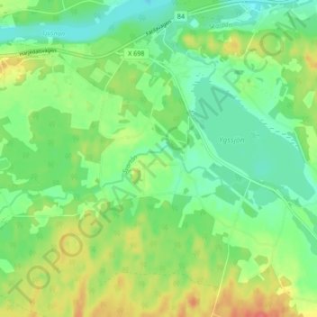
Name: Yg topographic map, elevation, terrain.
Location: Yg, Ljusdals kommun, Gävleborgs län, Zweden (61.76758 15.88627 61.80758 15.92627)
Average elevation: 161 m
Minimum elevation: 139 m
Maximum elevation: 198 m