
Rheurdt topographic map
Interactive map
Click on the map to display elevation.
About this map
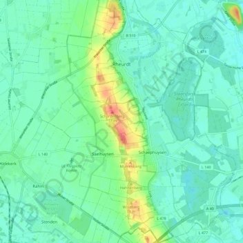
Name: Rheurdt topographic map, elevation, terrain.
Location: Rheurdt, Kleef, Noordrijn-Westfalen, 47509, Duitsland (51.41628 6.41809 51.48616 6.52186)
Average elevation: 36 m
Minimum elevation: 22 m
Maximum elevation: 79 m