
Deurningen topographic map
Interactive map
Click on the map to display elevation.
About this map
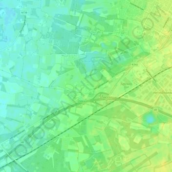
Name: Deurningen topographic map, elevation, terrain.
Location: Deurningen, Oldenzaal, Overijssel, Nederland (52.28217 6.85978 52.31261 6.91896)
Average elevation: 30 m
Minimum elevation: 21 m
Maximum elevation: 39 m
Other topographic maps
Click on a map to view its topography, its elevation and its terrain.