
Konnur topographic map
Interactive map
Click on the map to display elevation.
About this map
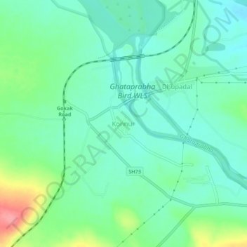
Name: Konnur topographic map, elevation, terrain.
Location: Konnur, Gokak taluku, Belgaum district, Karnataka, India (16.18177 74.72898 16.22177 74.76898)
Average elevation: 622 m
Minimum elevation: 597 m
Maximum elevation: 687 m