
Hessenberg topographic map
Interactive map
Click on the map to display elevation.
About this map
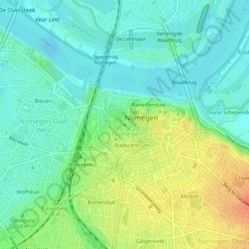
Name: Hessenberg topographic map, elevation, terrain.
Location: Hessenberg, Nimwegen, Geldern, Niederlande, 6511 CT, Niederlande (51.84662 5.86081 51.84672 5.86091)
Average elevation: 22 m
Minimum elevation: 5 m
Maximum elevation: 52 m
Other topographic maps
Click on a map to view its topography, its elevation and its terrain.