
Longmont topographic map
Interactive map
Click on the map to display elevation.
About this map
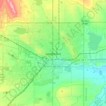
Name: Longmont topographic map, elevation, terrain.
Location: Longmont, Boulder County, Colorado, USA (40.12596 -105.17838 40.20996 -105.01732)
Average elevation: 1,534 m
Minimum elevation: 1,482 m
Maximum elevation: 1,649 m