
Amaravati topographic map
Interactive map
Click on the map to display elevation.
About this map
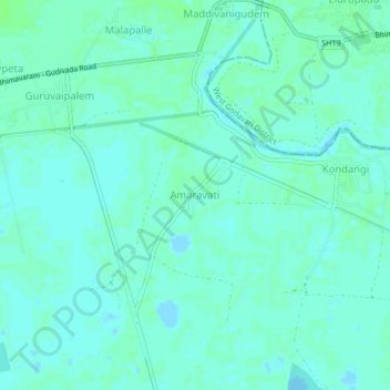
Name: Amaravati topographic map, elevation, terrain.
Location: Amaravati, Krishna, Andhra Pradesh, India (16.47985 81.31008 16.51985 81.35008)
Average elevation: 3 m
Minimum elevation: -2 m
Maximum elevation: 7 m
Other topographic maps
Click on a map to view its topography, its elevation and its terrain.
Amaravati
India > Andhra Pradesh > Amaravati
Amaravati, Amaravathi, Guntur, Andhra Pradesh, 522020, India
Average elevation: 28 m