
Sonakera topographic map
Interactive map
Click on the map to display elevation.
About this map
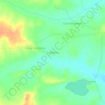
Name: Sonakera topographic map, elevation, terrain.
Location: Sonakera, Humanabad taluku, Bidar district, Karnataka, India (17.84024 77.10683 17.88024 77.14683)
Average elevation: 631 m
Minimum elevation: 616 m
Maximum elevation: 654 m