
Chapra topographic map
Interactive map
Click on the map to display elevation.
About this map
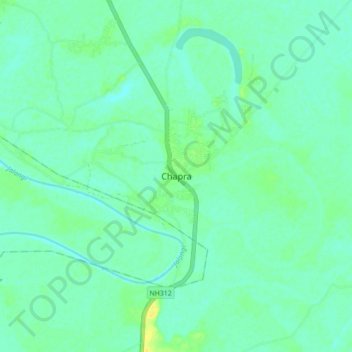
Name: Chapra topographic map, elevation, terrain.
Location: Chapra, Nadia, West Bengal, India (23.48031 88.50981 23.56031 88.58981)
Average elevation: 13 m
Minimum elevation: 6 m
Maximum elevation: 28 m