
Naja topographic map
Interactive map
Click on the map to display elevation.
About this map
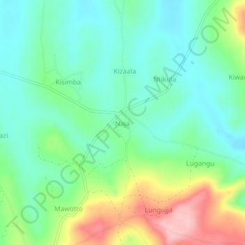
Name: Naja topographic map, elevation, terrain.
Location: Naja, Buikwe, Central Region, Ouganda (0.29056 33.08250 0.33056 33.12250)
Average elevation: 1,226 m
Minimum elevation: 1,172 m
Maximum elevation: 1,345 m