
Raninagar topographic map
Interactive map
Click on the map to display elevation.
About this map
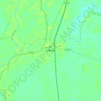
Name: Raninagar topographic map, elevation, terrain.
Location: Raninagar, Naogaon District, Rajshahi Division, Bangladesh (24.69590 88.92608 24.77590 89.00608)
Average elevation: 14 m
Minimum elevation: 8 m
Maximum elevation: 18 m