
Malang Plain topographic map
Interactive map
Click on the map to display elevation.
About this map
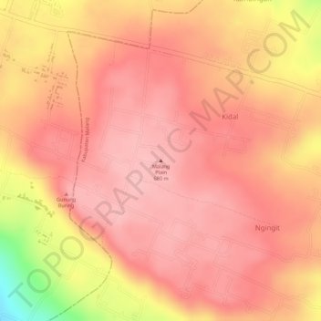
Name: Malang Plain topographic map, elevation, terrain.
Location: Malang Plain, Malang, Jatim, 65138, Indonésie (-8.02005 112.67995 -8.01995 112.68005)
Average elevation: 601 m
Minimum elevation: 487 m
Maximum elevation: 633 m
Other topographic maps
Click on a map to view its topography, its elevation and its terrain.