
Laurens County topographic map
Interactive map
Click on the map to display elevation.
About this map
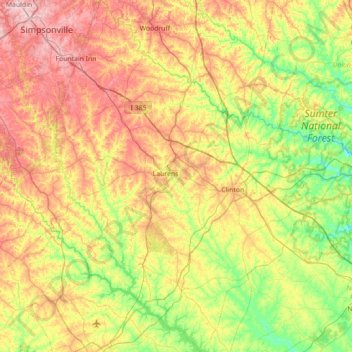
Name: Laurens County topographic map, elevation, terrain.
Location: Laurens County, Süd-Carolina, Vereinigte Staaten von Amerika (34.20310 -82.31476 34.78555 -81.64465)
Average elevation: 181 m
Minimum elevation: 103 m
Maximum elevation: 291 m