
Logan County topographic map
Interactive map
Click on the map to display elevation.
About this map
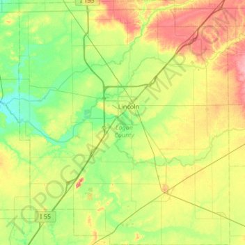
Name: Logan County topographic map, elevation, terrain.
Location: Logan County, Illinois, United States (39.91697 -89.60368 40.32529 -89.14346)
Average elevation: 184 m
Minimum elevation: 154 m
Maximum elevation: 238 m