
Kalverdijk topographic map
Interactive map
Click on the map to display elevation.
About this map
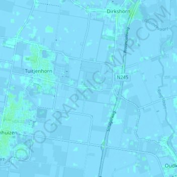
Name: Kalverdijk topographic map, elevation, terrain.
Average elevation: 0 m
Minimum elevation: -4 m
Maximum elevation: 3 m
Other topographic maps
Click on a map to view its topography, its elevation and its terrain.
Kerkbuurt
Nederland > Noord-Holland > Tuitjenhorn
Kerkbuurt, Tuitjenhorn, Schagen, Noord-Holland, Nederland, 1747 GP, Nederland
Average elevation: 0 m