
Klamath County topographic map
Interactive map
Click on the map to display elevation.
About this map
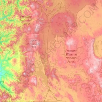
Name: Klamath County topographic map, elevation, terrain.
Location: Klamath County, Oregon, Vereinigte Staaten von Amerika (41.99302 -122.29035 43.61671 -120.87932)
Average elevation: 1,420 m
Minimum elevation: 389 m
Maximum elevation: 2,683 m