
ალგეთი topographic map
Interactive map
Click on the map to display elevation.
About this map
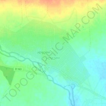
Name: ალგეთი topographic map, elevation, terrain.
Location: ალგეთი, მარნეულის მუნიციპალიტეტი, Basse Kartlie, Géorgie (41.43967 44.87924 41.45692 44.91116)
Average elevation: 357 m
Minimum elevation: 340 m
Maximum elevation: 383 m