
Dalang topographic map
Interactive map
Click on the map to display elevation.
About this map
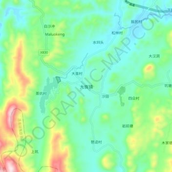
Name: Dalang topographic map, elevation, terrain.
Location: Dalang, Yangshan County, Qingyuan City, Guangdong, PRC (24.41434 112.45582 24.49434 112.53582)
Average elevation: 437 m
Minimum elevation: 280 m
Maximum elevation: 874 m