
Salenstein topographic map
Interactive map
Click on the map to display elevation.
About this map
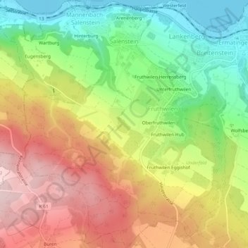
Name: Salenstein topographic map, elevation, terrain.
Location: Salenstein, Bezirk Kreuzlingen, Thurgau, 8268, Schweiz (47.64348 9.03588 47.67459 9.07754)
Average elevation: 549 m
Minimum elevation: 393 m
Maximum elevation: 716 m