
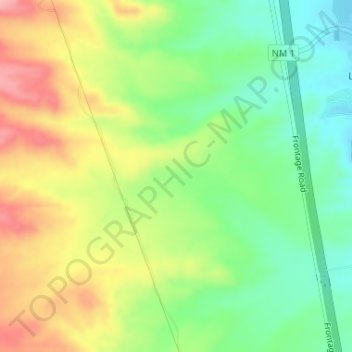
Black Canyon topographic map
Interactive map
Click on the map to display elevation.
About this map
Name: Black Canyon topographic map, elevation, terrain.
Average elevation: 1,453 m
Minimum elevation: 1,398 m
Maximum elevation: 1,522 m
Other topographic maps
Click on a map to view its topography, its elevation and its terrain.
Alamogordo
United States of America > New Mexico > Alamogordo
Alamogordo, Otero County, New Mexico, United States of America
Average elevation: 1,515 m
Glorieta
United States of America > New Mexico > Glorieta
Glorieta, Santa Fe County, New Mexico, 87535, United States of America
Average elevation: 2,313 m
Gallup
United States of America > New Mexico > Gallup
Gallup, McKinley County, New Mexico, United States of America
Average elevation: 2,067 m
Seton Village
United States of America > New Mexico > Seton Village
Seton Village, Santa Fe County, New Mexico, United States of America
Average elevation: 2,140 m