
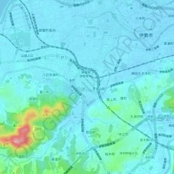
岩渕一丁目 topographic map
Interactive map
Click on the map to display elevation.
About this map
Name: 岩渕一丁目 topographic map, elevation, terrain.
Location: 岩渕一丁目, Ise, Mie Prefecture, 516-8691, Japan (34.46759 136.69069 34.50759 136.73069)
Average elevation: 16 m
Minimum elevation: -3 m
Maximum elevation: 129 m