
Cangas de Onís topographic map
Interactive map
Click on the map to display elevation.
About this map
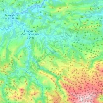
Name: Cangas de Onís topographic map, elevation, terrain.
Location: Cangas de Onís, Astúrias, Espanha (43.20439 -5.18461 43.42453 -4.94181)
Average elevation: 587 m
Minimum elevation: 8 m
Maximum elevation: 2,432 m