
Harreveld topographic map
Interactive map
Click on the map to display elevation.
About this map
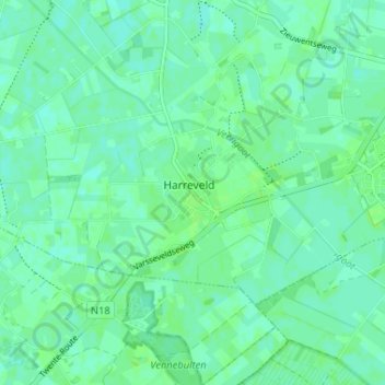
Name: Harreveld topographic map, elevation, terrain.
Location: Harreveld, Oost Gelre, Gelderland, Nederland, 7135, Nederland (51.95774 6.49680 51.99774 6.53680)
Average elevation: 20 m
Minimum elevation: 16 m
Maximum elevation: 24 m