
El Curilla topographic map
Interactive map
Click on the map to display elevation.
About this map
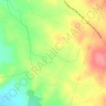
Name: El Curilla topographic map, elevation, terrain.
Location: El Curilla, Higuera de la Serena, Badajoz, Extremadura, España (38.64485 -5.78046 38.66485 -5.76046)
Average elevation: 438 m
Minimum elevation: 391 m
Maximum elevation: 484 m