
Canton topographic map
Interactive map
Click on the map to display elevation.
About this map
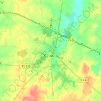
Name: Canton topographic map, elevation, terrain.
Location: Canton, Van Zandt County, Texas, 75103, United States (32.52055 -95.92709 32.60084 -95.80449)
Average elevation: 159 m
Minimum elevation: 125 m
Maximum elevation: 205 m