
Sulzberg topographic map
Interactive map
Click on the map to display elevation.
About this map
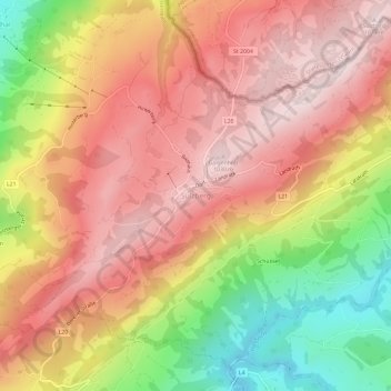
Name: Sulzberg topographic map, elevation, terrain.
Average elevation: 845 m
Minimum elevation: 550 m
Maximum elevation: 1,041 m
Other topographic maps
Click on a map to view its topography, its elevation and its terrain.
Thal
Österreich > Vorarlberg > Bezirk Bregenz > Gemeinde Sulzberg
Thal, Gemeinde Sulzberg, Bezirk Bregenz, Vorarlberg, 6934, Österreich
Average elevation: 711 m