
Winterswijk topographic map
Interactive map
Click on the map to display elevation.
About this map
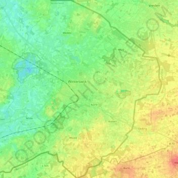
Name: Winterswijk topographic map, elevation, terrain.
Location: Winterswijk, Gelderland, Netherlands1, Netherlands (51.89606 6.62907 52.04006 6.83280)
Average elevation: 40 m
Minimum elevation: 21 m
Maximum elevation: 66 m