
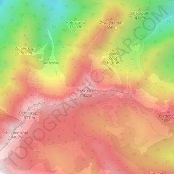
Hohe Kisten topographic map
Interactive map
Click on the map to display elevation.
About this map
Name: Hohe Kisten topographic map, elevation, terrain.
Average elevation: 1,542 m
Minimum elevation: 911 m
Maximum elevation: 1,955 m
Other topographic maps
Click on a map to view its topography, its elevation and its terrain.
Höllstein
Deutschland > Bayern > Landkreis Garmisch-Partenkirchen > Eschenlohe
Höllstein, Eschenlohe, Ohlstadt (VGem), Landkreis Garmisch-Partenkirchen, Bayern, 82496, Deutschland
Average elevation: 1,173 m