
อุทยานแห่งชาติอ่าวพังงา topographic map
Interactive map
Click on the map to display elevation.
About this map
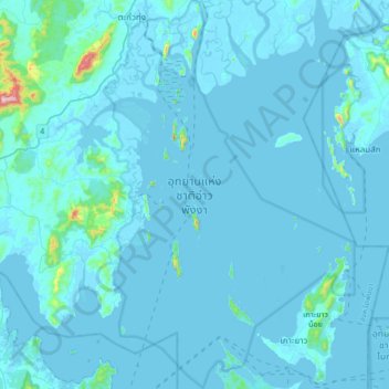
Name: อุทยานแห่งชาติอ่าวพังงา topographic map, elevation, terrain.
Location: อุทยานแห่งชาติอ่าวพังงา, Phang Nga, Thaïlande (8.07522 98.42734 8.40501 98.64364)
Average elevation: 20 m
Minimum elevation: -5 m
Maximum elevation: 552 m