
Trittauer Heide topographic map
Interactive map
Click on the map to display elevation.
About this map
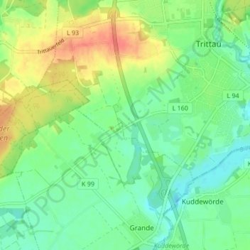
Name: Trittauer Heide topographic map, elevation, terrain.
Average elevation: 40 m
Minimum elevation: 21 m
Maximum elevation: 70 m
Other topographic maps
Click on a map to view its topography, its elevation and its terrain.
Norddeutsches Tiefland
Deutschland > Schleswig-Holstein > Stormarn > Trittau
Norddeutsches Tiefland, Trittau, Stormarn, Schleswig-Holstein, 22946, Deutschland
Average elevation: 36 m