
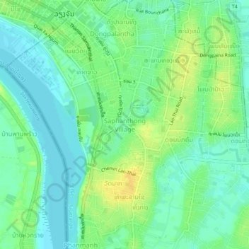
ບ້ານ ໂສກປ່າຫລວງ topographic map
Interactive map
Click on the map to display elevation.
About this map
Name: ບ້ານ ໂສກປ່າຫລວງ topographic map, elevation, terrain.
Average elevation: 170 m
Minimum elevation: 160 m
Maximum elevation: 184 m
Other topographic maps
Click on a map to view its topography, its elevation and its terrain.
Phanmanh
Laos > Préfecture de Vientiane > ສີສັດຕະນາກ > Phanmanh
Phanmanh, Vientiane, ສີສັດຕະນາກ, Préfecture de Vientiane, P.O 490, Laos
Average elevation: 170 m