
Kodak Point topographic map
Interactive map
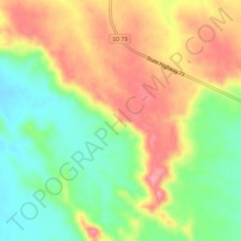
Click on the map to display elevation.
About this map
Name: Kodak Point topographic map, elevation, terrain.
Average elevation: 755 m
Minimum elevation: 705 m
Maximum elevation: 806 m
Other topographic maps
Click on a map to view its topography, its elevation and its terrain.
Wanblee
United States > South Dakota > Jackson County
Wanblee, Eagle Nest District, Jackson County, South Dakota, 57577, United States
Average elevation: 816 m