
Hiramandalam topographic map
Interactive map
Click on the map to display elevation.
About this map
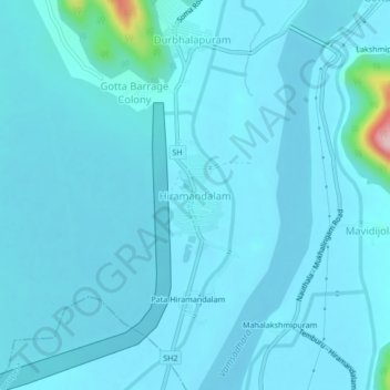
Name: Hiramandalam topographic map, elevation, terrain.
Location: Hiramandalam, Srikakulam, Andhra Pradesh, 532459, India (18.65244 83.92988 18.69244 83.96988)
Average elevation: 45 m
Minimum elevation: 29 m
Maximum elevation: 270 m