
Gunung Teon topographic map
Interactive map
Click on the map to display elevation.
About this map
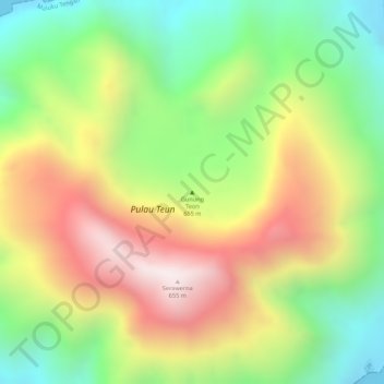
Name: Gunung Teon topographic map, elevation, terrain.
Location: Gunung Teon, Moluques, Indonésie (-6.97007 129.14499 -6.96997 129.14509)
Average elevation: 353 m
Minimum elevation: 0 m
Maximum elevation: 732 m
Other topographic maps
Click on a map to view its topography, its elevation and its terrain.
Maluku Barat Daya
Maluku Barat Daya, Moluques, Maluku, Indonésie
Average elevation: 57 m
Kepulauan Barat Daya
Kepulauan Barat Daya, Moluques, Indonésie
Average elevation: 0 m