
Mount Cameroon topographic map
Interactive map
Click on the map to display elevation.
About this map
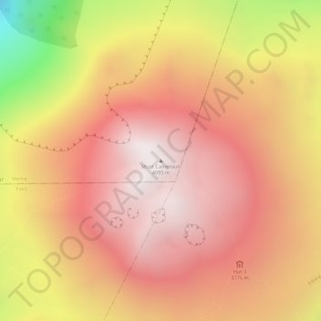
Name: Mount Cameroon topographic map, elevation, terrain.
Location: Mount Cameroon, Meme, Southwest, Cameroon (4.21798 9.17331 4.21808 9.17341)
Average elevation: 3,645 m
Minimum elevation: 2,843 m
Maximum elevation: 4,020 m
Other topographic maps
Click on a map to view its topography, its elevation and its terrain.