
Gabriel López topographic map
Interactive map
Click on the map to display elevation.
About this map
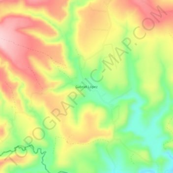
Name: Gabriel López topographic map, elevation, terrain.
Location: Gabriel López, Nochistlán de Mejía, Zacatecas, México (21.23522 -102.97441 21.27522 -102.93441)
Average elevation: 1,884 m
Minimum elevation: 1,773 m
Maximum elevation: 1,988 m