
Thank you for supporting this site ❤️
Make a donation
Make a donation
Sabatia topographic map
Click on the map to display elevation.
Thank you for supporting this site ❤️
Make a donation
Make a donation
About this map
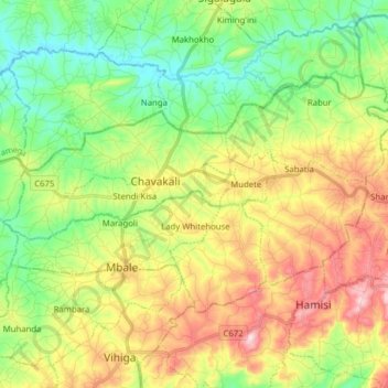
Name: Sabatia topographic map, elevation, terrain.
Location: Sabatia, Vihiga County, Western, Kenya (0.06529 34.67228 0.16045 34.82868)
Average elevation: 1,562 m
Minimum elevation: 1,413 m
Maximum elevation: 1,793 m
Thank you for supporting this site ❤️
Make a donation
Make a donation