
Thank you for supporting this site ❤️
Make a donation
Make a donation
Crocemarroggia topographic map
Click on the map to display elevation.
Thank you for supporting this site ❤️
Make a donation
Make a donation
About this map
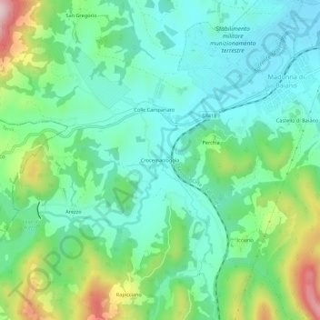
Name: Crocemarroggia topographic map, elevation, terrain.
Location: Crocemarroggia, Spoleto, Perugia, Umbria, 06049, Italia (42.69614 12.62297 42.73614 12.66297)
Average elevation: 410 m
Minimum elevation: 308 m
Maximum elevation: 673 m
Thank you for supporting this site ❤️
Make a donation
Make a donation