
Estipac topographic map
Interactive map
Click on the map to display elevation.
About this map
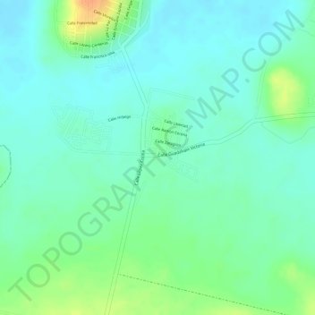
Name: Estipac topographic map, elevation, terrain.
Location: Estipac, Villa Corona, Jalisco, México (20.35519 -103.73401 20.36531 -103.71835)
Average elevation: 1,374 m
Minimum elevation: 1,360 m
Maximum elevation: 1,402 m