
Talsperre Lütsche topographic map
Interactive map
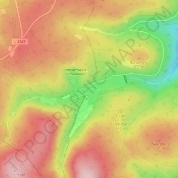
Click on the map to display elevation.
About this map
Name: Talsperre Lütsche topographic map, elevation, terrain.
Average elevation: 656 m
Minimum elevation: 498 m
Maximum elevation: 765 m
Other topographic maps
Click on a map to view its topography, its elevation and its terrain.
Frankenhain
Deutschland > Thüringen > Ilm-Kreis > Frankenhain
Frankenhain, Geratal, Ilm-Kreis, Thüringen, Deutschland
Average elevation: 564 m