
Bârsana topographic map
Interactive map
Click on the map to display elevation.
About this map
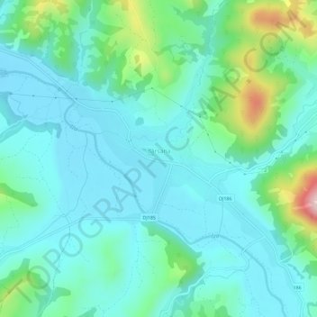
Name: Bârsana topographic map, elevation, terrain.
Location: Bârsana, Maramureș, Romania (47.80355 24.03810 47.82830 24.09506)
Average elevation: 369 m
Minimum elevation: 301 m
Maximum elevation: 636 m