
Thank you for supporting this site ❤️
Make a donation
Make a donation
Mirya topographic map
Click on the map to display elevation.
Thank you for supporting this site ❤️
Make a donation
Make a donation
About this map
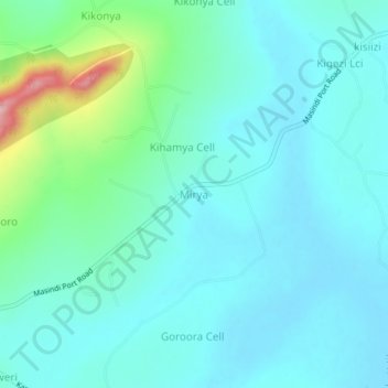
Name: Mirya topographic map, elevation, terrain.
Location: Mirya, Masindi, Western Region, Uganda (1.66550 31.76270 1.70550 31.80270)
Average elevation: 1,111 m
Minimum elevation: 1,078 m
Maximum elevation: 1,264 m
Thank you for supporting this site ❤️
Make a donation
Make a donation