
Athi River topographic map
Interactive map
Click on the map to display elevation.
About this map
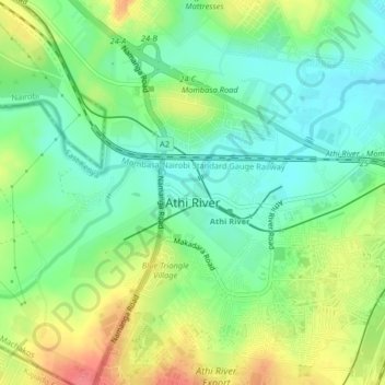
Name: Athi River topographic map, elevation, terrain.
Location: Athi River, Machakos, East Kenya, Kenia (-1.46385 36.95528 -1.43022 36.99589)
Average elevation: 1,520 m
Minimum elevation: 1,493 m
Maximum elevation: 1,563 m