
Pfaffensattel topographic map
Interactive map
Click on the map to display elevation.
About this map
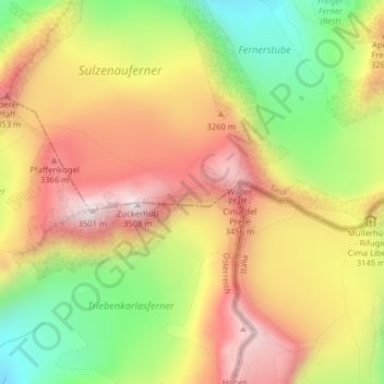
Name: Pfaffensattel topographic map, elevation, terrain.
Average elevation: 3,114 m
Minimum elevation: 2,712 m
Maximum elevation: 3,472 m
Other topographic maps
Click on a map to view its topography, its elevation and its terrain.
Milders
Österreich > Tirol > Bezirk Innsbruck-Land > Gemeinde Neustift im Stubaital > Milders
Milders, Gemeinde Neustift im Stubaital, Bezirk Innsbruck-Land, Tirol, 6167, Österreich
Average elevation: 1,448 m