
Thank you for supporting this site ❤️
Make a donation
Make a donation
Cikarang topographic map
Click on the map to display elevation.
Thank you for supporting this site ❤️
Make a donation
Make a donation
About this map
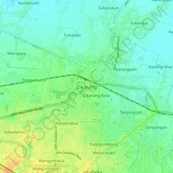
Name: Cikarang topographic map, elevation, terrain.
Location: Cikarang, Bekasi, West Java, Java, 17383, Indonesia (-6.29871 107.10574 -6.21871 107.18574)
Average elevation: 17 m
Minimum elevation: 8 m
Maximum elevation: 33 m
Thank you for supporting this site ❤️
Make a donation
Make a donation
Other topographic maps
Click on a map to view its topography, its elevation and its terrain.